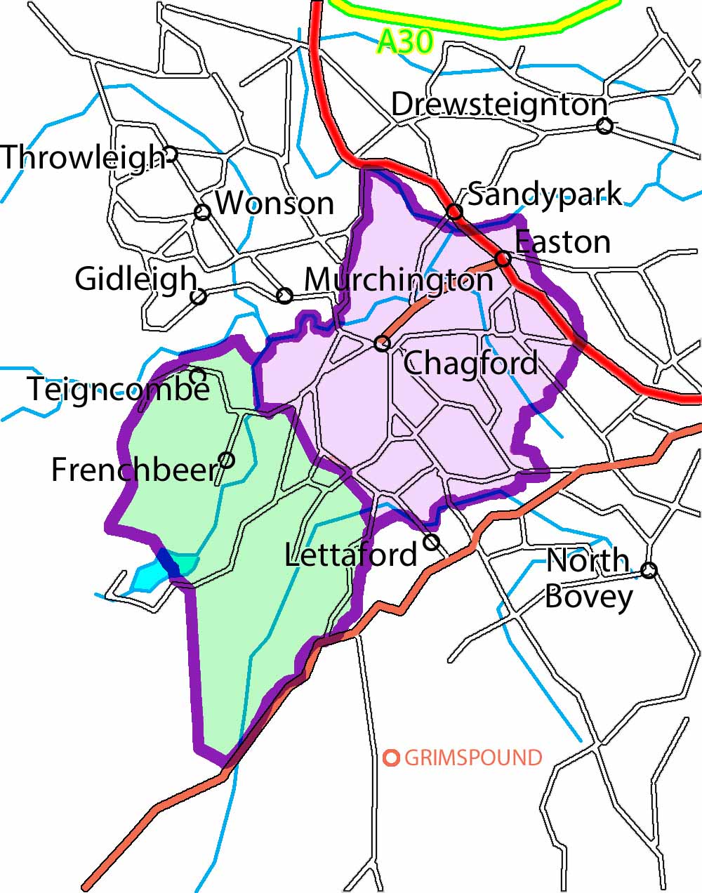
The Tithe Map, surveyed in 1841, is the earliest detailed map of the Town and the Parish. It was produced in two parts. The approximate coverage of the two parts of the map is shown below. The orientation of the maps is about 30˚ off magnetic north.

Tithe Map South West
Tithe Map North East
For help on how to use the zoomable maps go here.